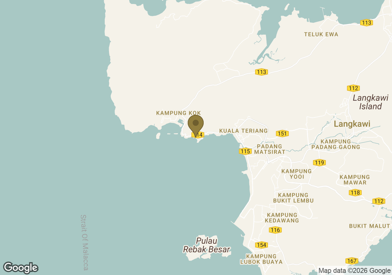
Langkawi Cable Car (SkyCab) & Sky Bridge
- Mountaintop cable car and curved pedestrian bridge with wide views over Gunung Mat Cincang and the Andaman Sea.
- Distance: ≈4–5 km
- Mode: car to base + cable car; ~25–45 min (queues/weather dependent)
- Best time: Morning or late afternoon for clearer skies and softer light.
- Tip: The bridge may close during strong winds; check status before departure.
Seven Wells Waterfall (Telaga Tujuh)
- Tiered waterfall with natural rock pools; access via steep forest steps.
- Distance: ≈6 km
- Mode: car + short trek; ~30–60 min total (traffic/fitness dependent)
- Best time: Early morning; stronger flow after rains, rocks can be slippery.
- Tip: Wear grippy footwear and carry water; monkeys may approach—avoid feeding.
Pantai Cenang
- Popular beach strip with long sandy shore, eateries, and water activities.
- Distance: ≈12 km
- Mode: car; ~20–30 min, traffic dependent
- Best time: Sunset or late afternoon for cooler temperatures.
- Tip: Parking along the main road fills quickly; arrive slightly early.
Tanjung Rhu Beach
- Calmer northern beach with limestone islets and clear, shallow waters.
- Distance: ≈28–30 km
- Mode: car; ~40–50 min
- Best time: Morning or sunset; mid-day shade is limited.
- Tip: Low tide can expose sandbars; check tide times if planning a walk.
Kilim Karst Geoforest Park (Mangrove Area)
- Mangrove channels and karst formations within Langkawi UNESCO Global Geopark; boat tours from nearby jetties.
- Distance: ≈30 km to Kilim/Tanjung Rhu jetties
- Mode: car to jetty + boat; ~45–60 min to jetty (conditions permitting)
- Best time: Morning for calmer waters and wildlife activity.
- Tip: Pre-book a boat and bring sun protection; tours may adjust for tides/weather.
Eagle Square (Dataran Lang), Kuah
- Waterfront plaza with the iconic eagle statue and views across Kuah Bay.
- Distance: ≈25–27 km
- Mode: car; ~35–45 min
- Best time: Evening for cooler temperatures and illuminated skyline.
- Tip: Combine with nearby Kuah shops; limited shade at mid-day.
General Tip: Roads near Gunung Mat Cincang are winding; allow buffer for weather-related closures at SkyCab/Sky Bridge, carry sun/bug protection, and keep small cash for parking where needed.